Observation date: July 15, 2024
Submitted by: sandyleapt
Specimen type: Photograph
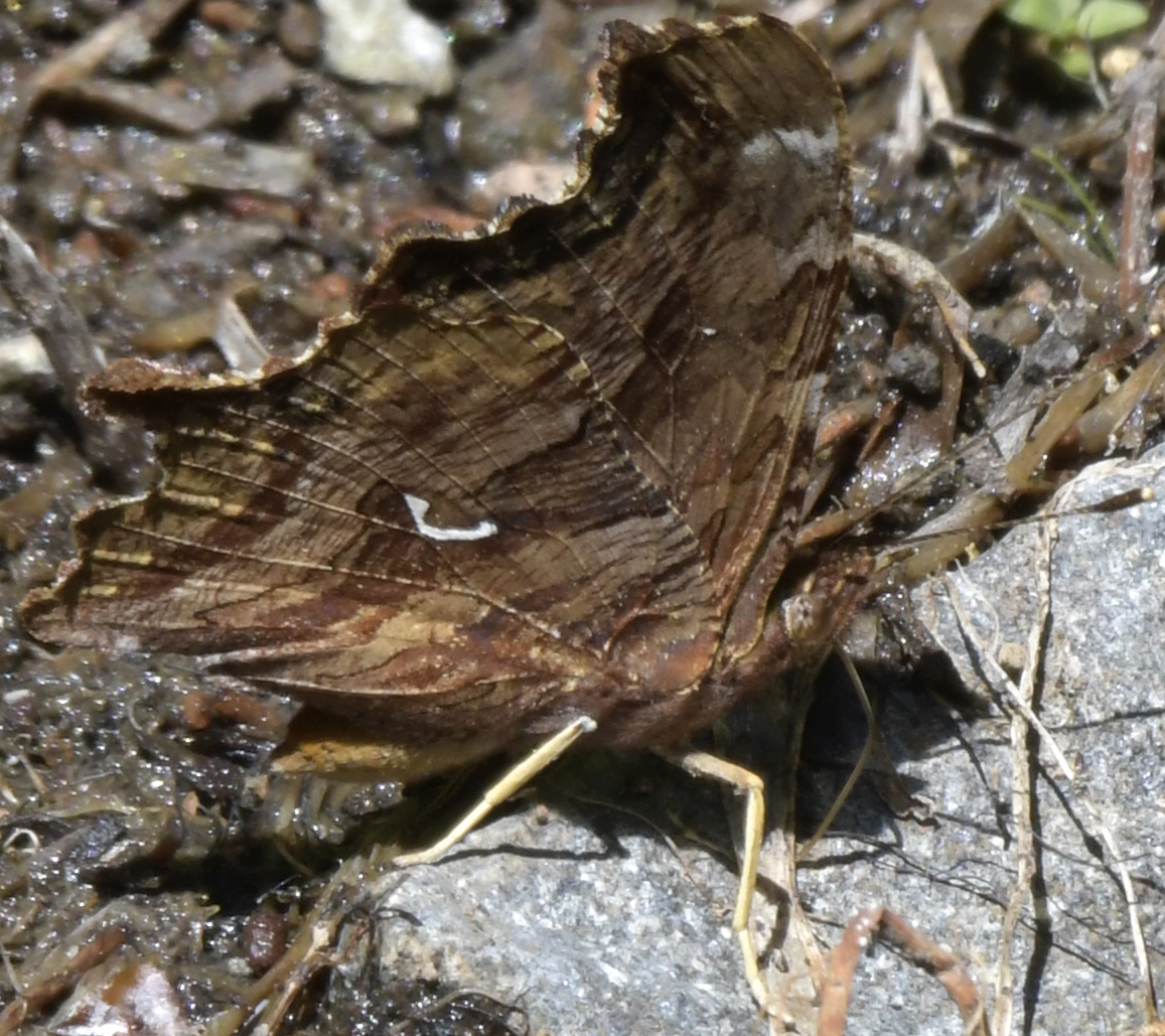
Observation notes: Sipping from mud. Riparian road cut 2.4 miles from junction of Highway 34 and Marys Peak Forest Road. Best visited in the morning when in full sun. Consists of a small stream with a water fall and mudflat, a dry south-facing rock face, a forested mossy rock face with water seeping down it and a very dry, sunny rock face. Lots of oxeye daisies, fireweed, nettle of some sort and some sort of thistle.
Status: Resident
Verified by: Ken Davenport
Verified date: July 19, 2024
Coordinator notes: None.